Providing professional land surveying services to Young and surrounding counties from a family owned and operated business since 1979.
Services
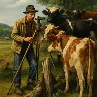
Our team uses advanced equipment to ensure precise, reliable results for residential, commercial, and agricultural projects. With decades of experience, we deliver trusted data that supports smart decisions and successful developments. Some services we provide include:
GPS/RTK
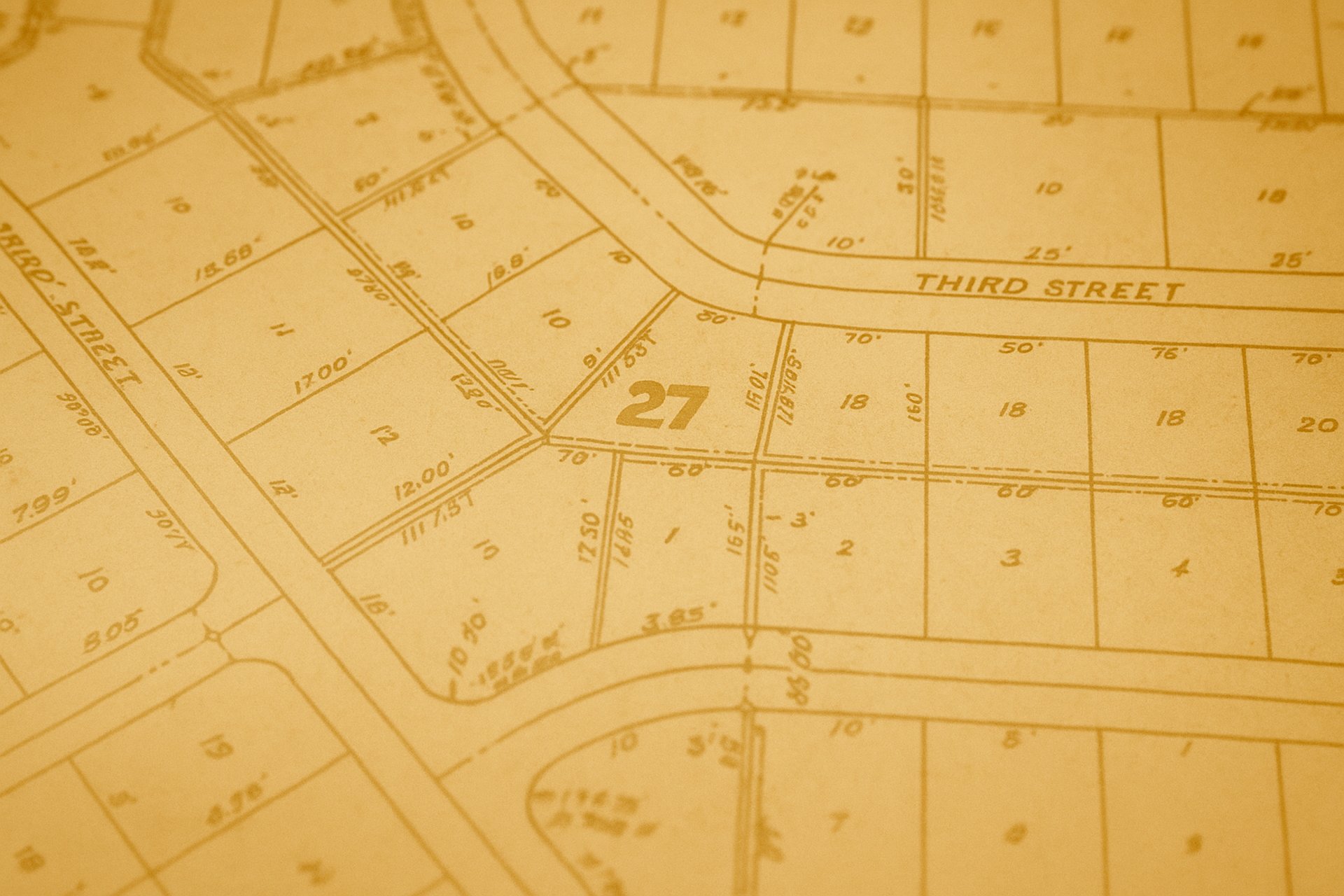
Boundary Surveys – Specializing in large boundary surveys.
Topographic Surveys
Tree Surveys
Construction
Oilfield Location Surveys (Preliminary and As-Drilled)
Elevation Surveys
Elevation Certificates (FEMA)
TNRIS/NAIP Aerial Photo Image Overlay
Pipeline Route Surveys
As-Built/Final Surveys
Subdivisions
Legal Descriptions


Map
Contact Us
Business Hours
Monday: 8am - 5pm
Tuesday: 8am - 5pm
Wednesday: 8am - 5pm
Thursday: 8am - 5pm
Friday: 8am - 5pm
Saturday: Closed
Sunday: Closed
Location
Clear Fork Surveying & Mapping Co. Inc.
420 4th Street
Graham, TX 76450
Office: (940) 549-0700